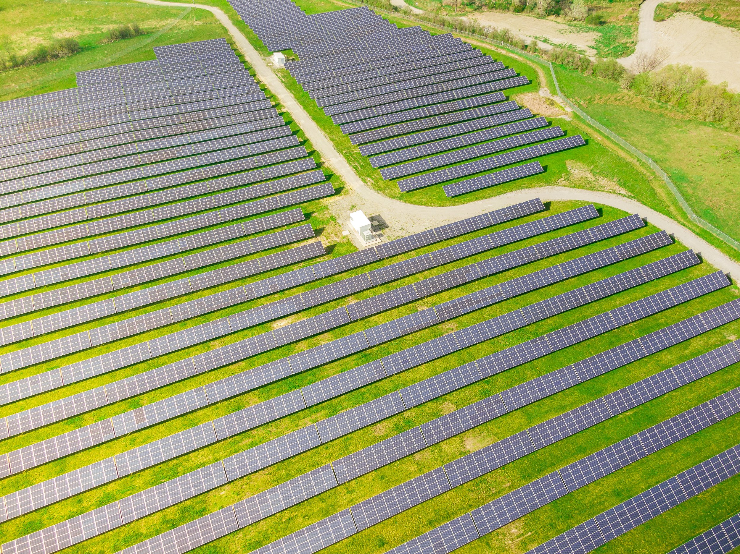
Precision Drone Surveying to the Highest Degree
Providing Actionable Data from a Birds Eye View
Specializing in Aerial Surveying and Inspection
We Create High Resolution Data Sets Specifically Catered to Your Needs
We Use a Suite of Camera & Sensor Packages to Satisfy Modern Requirements for Aerial Imaging.
Some of Our Most Popular Packages Include:
-
Solar Panel, Commercial, HVAC, Natural Gas, Power Line, Wind Turbine, Thermal Insulation, Plumbing Inspections and More.
-
Property Development, Real Estate, 3-D Modeling, New Construction, Mapping, High-Res Orthomosaics, Insurance Claims and More.
-
New Home Development, Existing Home and Real Estate, Motor Yachts, Vessels and Ships, Vehicles and More.


